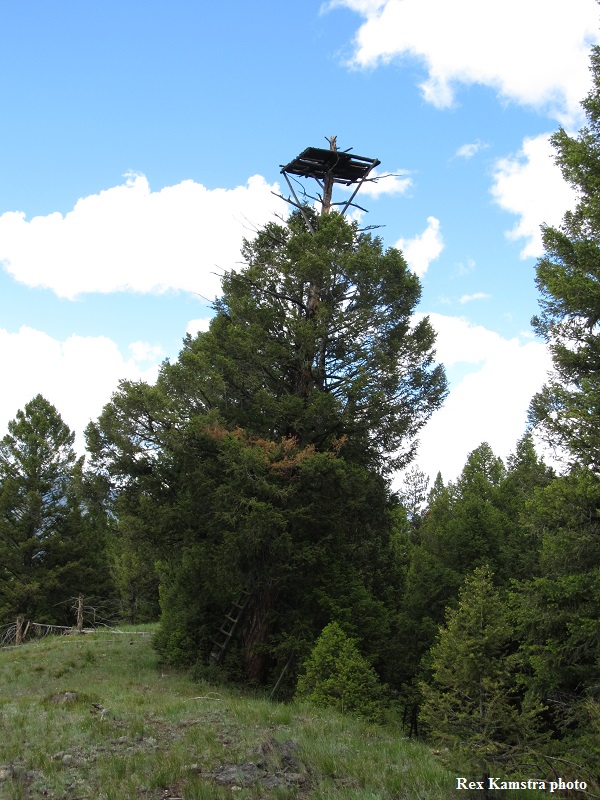
SLATE POINT LOOKOUT
1920s: crows nest (still there), log cabin. Ruins.
Bitterroot National Forest
8 miles south of West Fork R.S.
Ravalli County, Montana
Elevation 6260'
Click for larger image
Photo courtesy of Rex Kamstra