


|
|---|
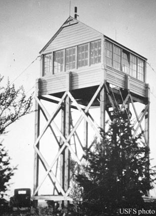
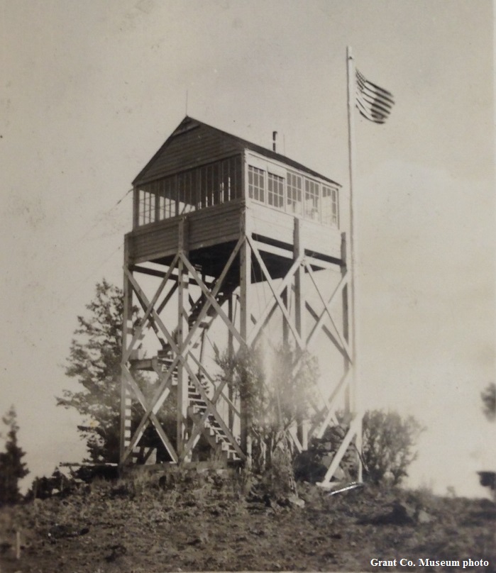
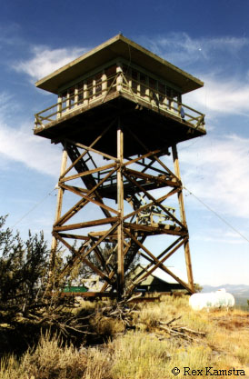
| ANTELOPE MOUNTAIN LOOKOUT | |
|---|---|
First used in 1930 with a 30' pole L-4 tower, the present 30' treated timber tower with R-6 flat cab was moved here from Lake Butte in 1974. It is staffed every summer. |
|
| Malheur National Forest | |
| 40 miles northeast of Burns | |
| Grant County, Oregon | |
| Elevation 6456' | |
|
|
|---|