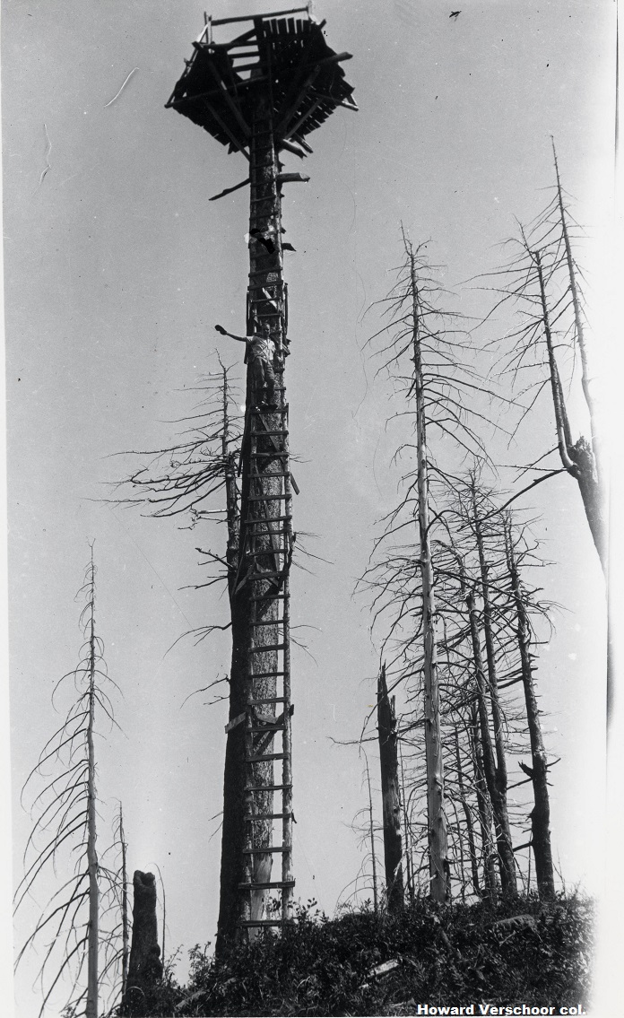
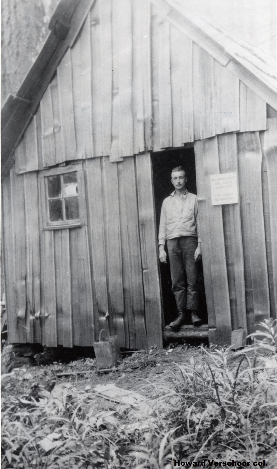
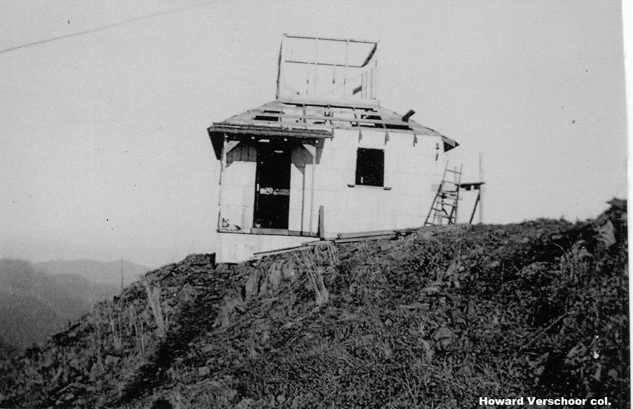
CEDAR BUTTE LOOKOUT
1917: crow's nest, cabin. 1937?: cupola cabin. Gone.
Northwest Oregon FPA/ODF
12 miles northeast of Tillamook
Tillamook County, Oregon
Elevation 3100'
Click for larger image
Photos courtesy the Howard Verschoor collection