
|
|---|
| MOUNT DEFIANCE LOOKOUT | |
|---|---|
| R.I.P. 1952-1959 | |
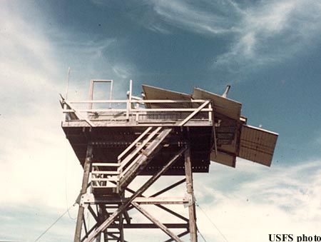
Established with a crow's nest and tent about 1925, a 40' pole L-4 tower replaced it about 1934. This was followed by a 41' treated timber L-4 tower in 1952, which was destroyed by a windstorm in 1959. A 41' treated timber R-6 flat cab tower finally replaced the damaged tower in 1962, only to be removed by 1971. |
|
| Mt. Hood National Forest | |
| 10 miles southwest of Hood River | |
| Hood River County, Oregon | |
| Elevation 4960' | |
|
|
|---|