
|
|---|
| FLAGTAIL MOUNTAIN LOOKOUT | |
|---|---|
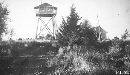
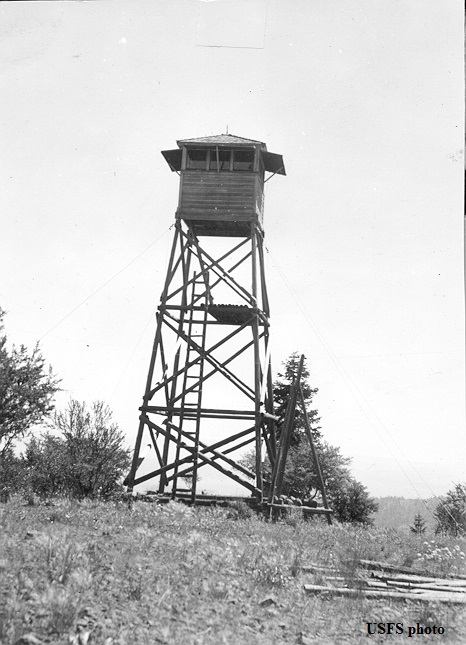
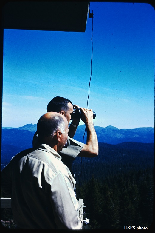
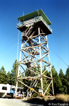
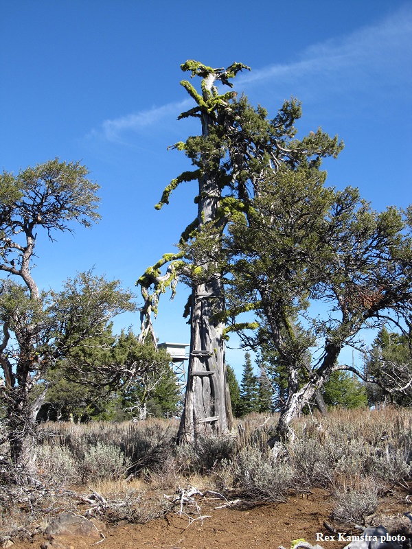
A crow's nest tree platform (still there) was used as the first lookout in 1922. A 20' L-4 tower was built in 1933, along with a 30' wooden tower with 8x8' cab 1 mile to the east (also referred to as Snowshoe L.O.). Then in 1966, the present 53' treated timber R-6 flat was constructed. It is staffed every summer. |
|
| Malheur National Forest | |
| 23 miles southwest of John Day | |
| Grant County, Oregon | |
| Elevation 6584' | |
|
|
|---|