|
|---|
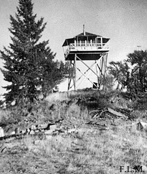
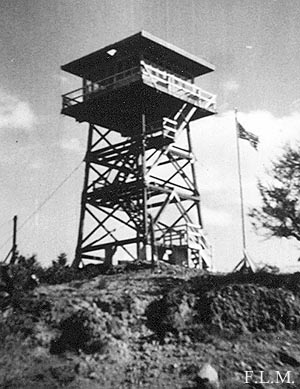
| LAKE BUTTE LOOKOUT | |
|---|---|
| R.I.P. 1930s-1963 | |
Established with a 33' pole L-4 tower in the early 1930s, a 30' treated timber R-6 flat tower was constructed in 1963. In the 1974, it was moved to Antelope Mtn. L.O.. |
|
| Malheur National Forest | |
| 12 miles north of John Day | |
| Grant County, Oregon | |
| Elevation 6227' | |
|
|
|---|