
|
|---|
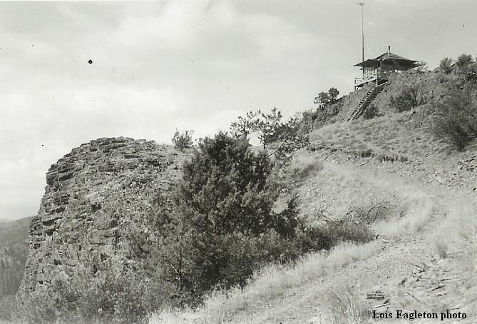
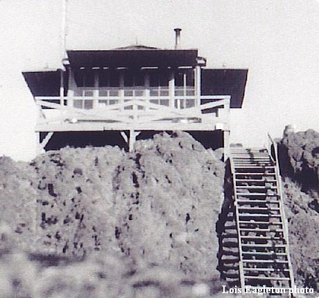
| RANCHERIA (RANCHERIE) ROCK LOOKOUT | |
|---|---|
The site was developed in the 1930's with an L-4 cab which was later modified. Abandoned for many years, some preservation work as taken place. The site is on private property with no public access. |
|
| Oregon Dept. of Forestry | |
| 7 miles SSE of Fossil | |
| Wheeler County, Oregon | |
| Elevation 4909' | |
|
|
|---|