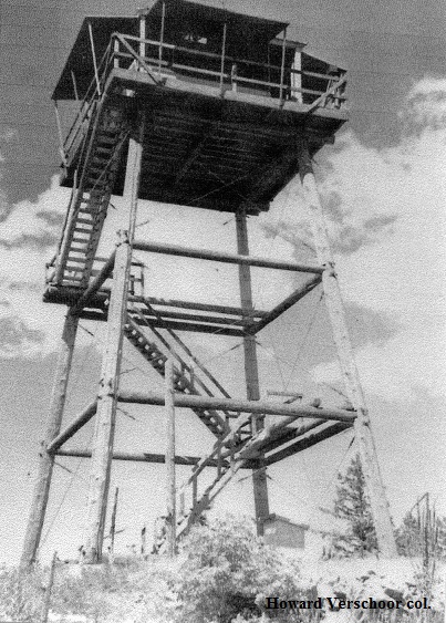
SQUARE TOP LOOKOUT
1936: 30' pole L-4 tower. Destroyed 1948.
Oregon Dept. of Forestry
13 miles southeast of Tillamook
Tillamook County, Oregon
Elevation 2115'
Click for larger image
Photo courtesy the Howard Verschoor collection