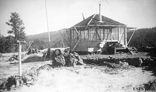
THORN CREEK BUTTE LOOKOUT
R.I.P. 1933-1958
Developed in 1933 with this L-4 cab, it was removed in 1958 after several years of abandon.
Malheur National Forest
22 miles southwest of John Day
Grant County, Oregon
Elevation 5034'
Click for larger image
Photo courtesy the Fire Lookout Museum