Reportedly the first
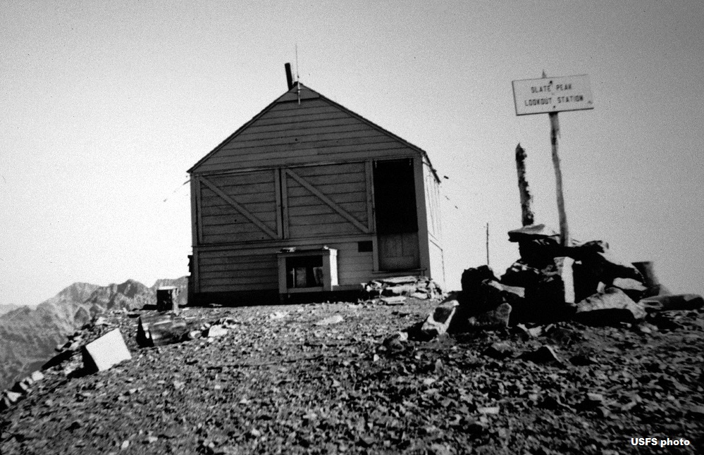
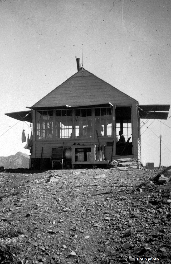
lookout structure here was a 1924 gable-roof cupola cabin. However, the first telephone line was not strung until 1931 when a gable-roofed L-4 cab was built.
Then in 1954, a hip-roofed L-4 ground cab was constructed. (It was previously thought the ground L-4 from Leecher Mtn. Lookout was moved here (prior to road access); however a newspaper article in the Methow Valley News indicates the Leecher cab was moved to Twisp for a Civil Air Defense lookout instead).
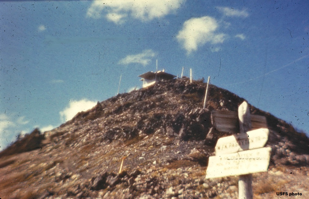
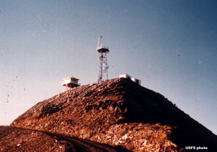
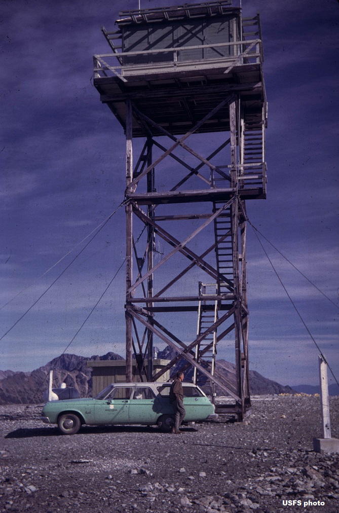
In 1956* (may have been later than that), the U.S. Air Force prepared to build a gap filler radar station atop the peak by destroying the lookout and blasting the top 40' off the mountain. The project
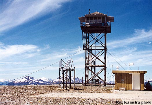
was partially completed when it was declared obsolete. In the meantime, the present 41' treated timber L-4 tower was built. The lookout was pressed into
emergency service during 1994 when nearby Goat Peak Lookout had to
be evacuated because of a forest fire. It was used in 1996 to monitor the Elbow Basin fire in
the Pasayten Wilderness, and relay radio messages from personnel on the fire. The summit is the highest point in Washington accessible by automobile.
The lookout is listed on the National Historic Lookout Register. Known lookout oersonnel: 1952, 1954-Bill Horn. 1957-Carl Schmidt.
|